
Chesterfield Town Centre Policing Neighbourhood
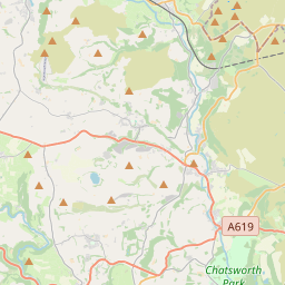
The Chesterfield Town Centre neighbourhood in the Derbyshire Constabulary area covers the land indicated on the map to the right. For non-urgent queries, contact 101. For emergency assistance, please contact 999.
| Contact Address |
Chesterfield Town Centre Beetwell Street Chesterfield Derbyshire S40 1QP |
| Telephone: | 101 |
| Force Website: | http://www.derbyshire.police.uk/ |


About Chesterfield Town Centre
The neighbourhood team have provided the following description of their work:
This Safer Neighbourhood area includes Chesterfield Town Centre. It is covered by the Chesterfield South Safer Neighbourhood Policing Team and belongs to the Chesterfield Local Policing Unit.
Chesterfield is the largest town in the administrative county of Derbyshire. The town centre neighbourhood area consists of the retail centre of the town, boasting a wide variety of shops and retail outlets and a large open air market dating back to at least 1165.
The town's skyline is dominated by the famous crooked spire of the church of St Mary and all saints. As this is the commercial centre of the town, there are very few residential properties in the area. Queens Park is located on the southern edge of the area, the park opened in 1893. It was recently refurbished, with help from a lottery fund grant.
Data courtesy of police.uk. See our Data Sources page for more information.